You can generate a height map report in .XYZ (text, E, N, Z) or .PLY (point cloud) formats.
- Select to open the Reports screen.ADDITIONAL INFORMATION:
Figure: Site menu 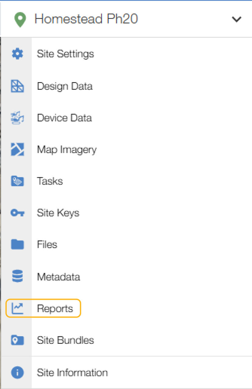
- Select New Report
 to open the New Height Report dialog.
 - Select Height Map Report.ADDITIONAL INFORMATION:
- Enter or select the the necessary items that follow:ADDITIONAL INFORMATION:
- Name
- Date and time
- Output File Format
- Cell Size
- adjust settings
Figure: New height map report 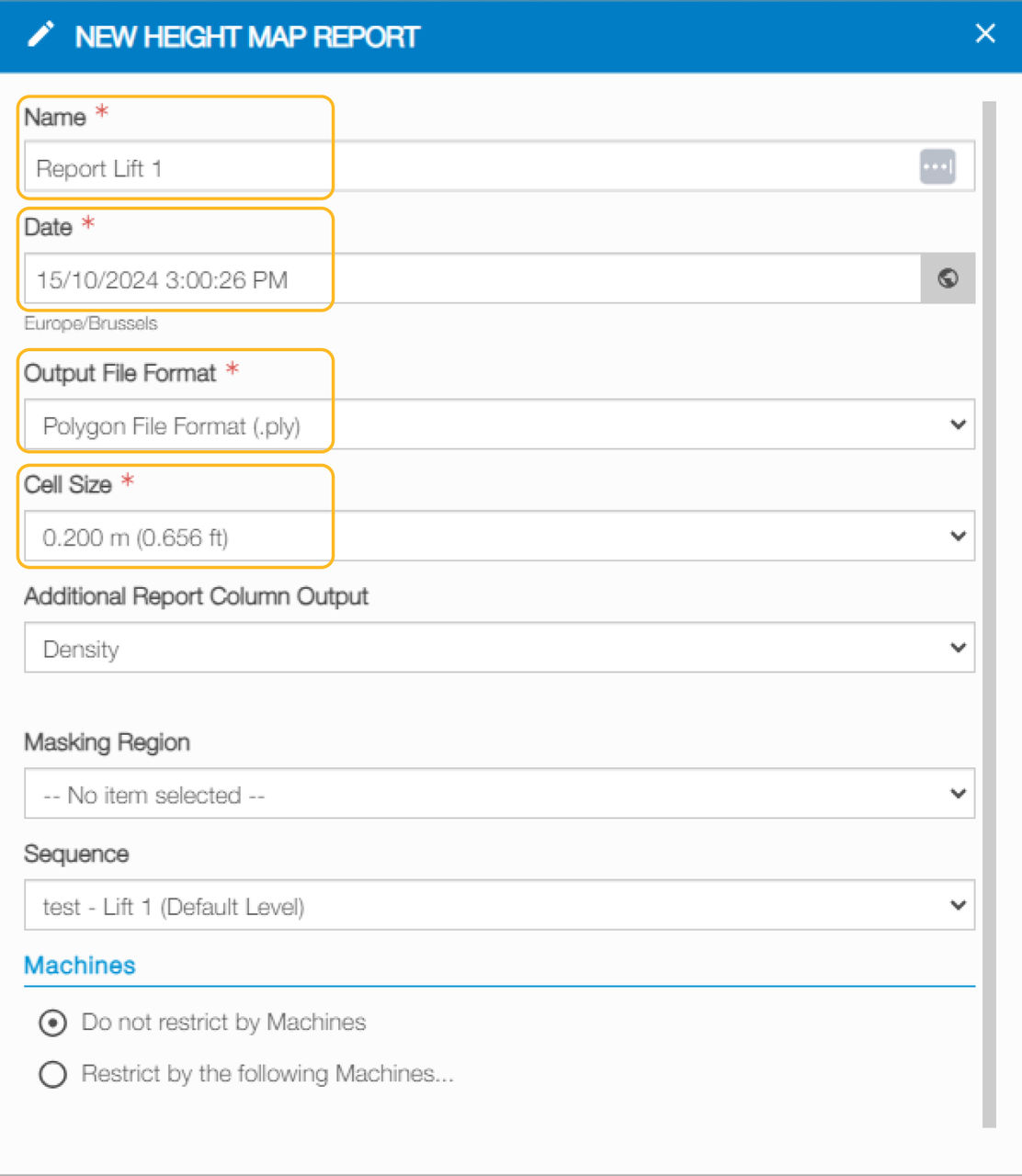
- Select Save
 .
. - Select the checkbox for the report.
- Select
 .ADDITIONAL INFORMATION:
Figure: Reports 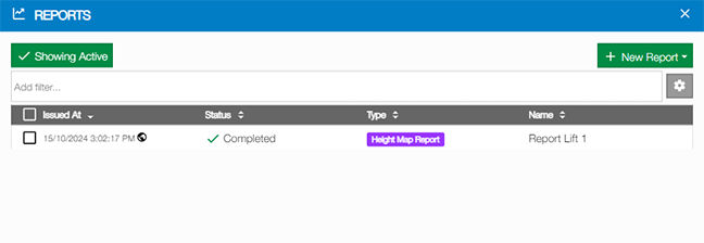
Previous:
3D-MC lock sequence
Next:
Device data
myTopcon NOW! support
Take your Topcon experience to the next level with myTopcon NOW! This platform is a self-service tool for your desktop or mobile device.